
|
|
|
|
11/22/05 |
|
|
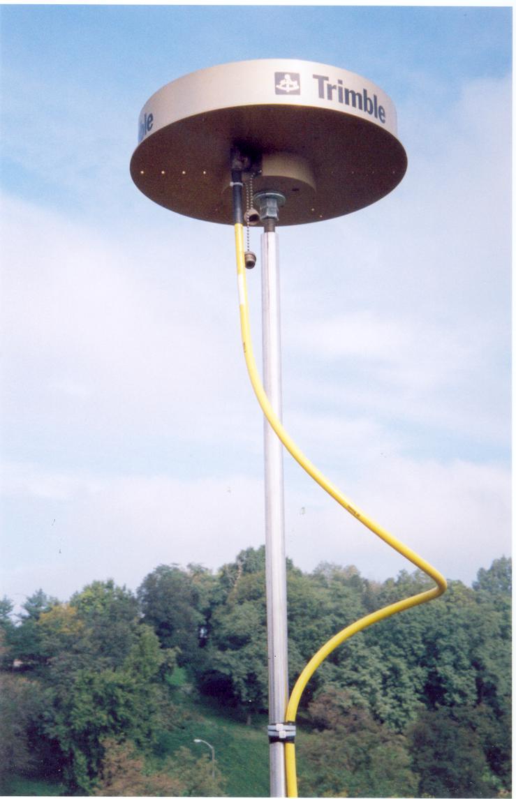
Welcome to the PAAP site!This homepage describes the Continuously Operating Reference Station (CORS) site located on the main campus of the University of Pittsburgh. Our site is jointly maintained by the Department of Geology and Planetary Science at the University of Pittsburgh and the Pennsylvania Department of Transportation. William Harbert is the University of Pittsburgh contact for questions related to PAAP. As presently estimated this site is moving on the North America Plate and has the following yearly velocity components:ITRF00 VELOCITY (yearly motion in north, east and upward directions in meters per year): (Predicted with HTDP_2.7 August 2003).
Check the NGS PAAP CORS site for additional details and PAAP CORS site data download.
|
This site was last updated by William Harbert on 11/22/05