Hiking Area: Great Sand Dunes National Monument, CO
A couple of years ago, Betty and I spent a bit of time in the southwest hiking. One of
the highlights was a visit to the Great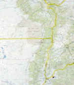 Sand Dunes
in southern Colorado. An arid basin between two ranges of mountains is the setting for
this jewel. The prevailing wind from the west picks up sand from the basin, hits the
Sangre de Cristo mountains along the basins's western border, and drops all the sand
there. A stream along the base of the mountains picks up the sand and recycles it into the
basin, where it is once more picked up by the wind. The dunes, a mini-desert reminiscent
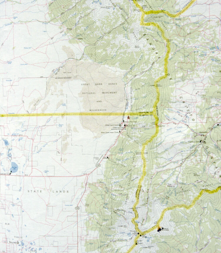
of the Sahara, makes an interesting day of hiking. Click here for a 120K JPEG map of the
area. BTW there's no real trails, nor any hiking map for the dunes, because the area
changes all the time. You just hike out into the dunes, wander around all day, and then
head back east to the stream, following it to your starting point. The best starting point
for a hike requires 4-wheel drive for access. And yes, a compass could come in very
handy if you can't navigate by the sun or stars.
Sand Dunes
in southern Colorado. An arid basin between two ranges of mountains is the setting for
this jewel. The prevailing wind from the west picks up sand from the basin, hits the
Sangre de Cristo mountains along the basins's western border, and drops all the sand
there. A stream along the base of the mountains picks up the sand and recycles it into the
basin, where it is once more picked up by the wind. The dunes, a mini-desert reminiscent
of the Sahara, makes an interesting day of hiking. Click here for a 120K JPEG map of the
area. BTW there's no real trails, nor any hiking map for the dunes, because the area
changes all the time. You just hike out into the dunes, wander around all day, and then
head back east to the stream, following it to your starting point. The best starting point
for a hike requires 4-wheel drive for access. And yes, a compass could come in very
handy if you can't navigate by the sun or stars.
For the pictures below, click on a thumbnail for a larger JPG picture (25-40K each).
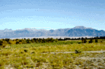
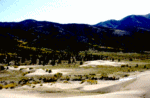
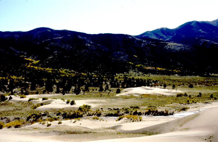
Looking east from the basin toward the Sangre de Cristo Mountains with the
Great Sand Dunes just visible at the base of the mountains:
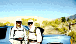
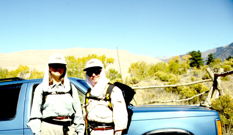
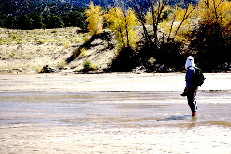
One needs to dress properly for any desert hikes:
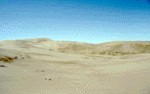
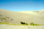
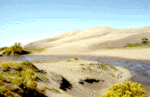
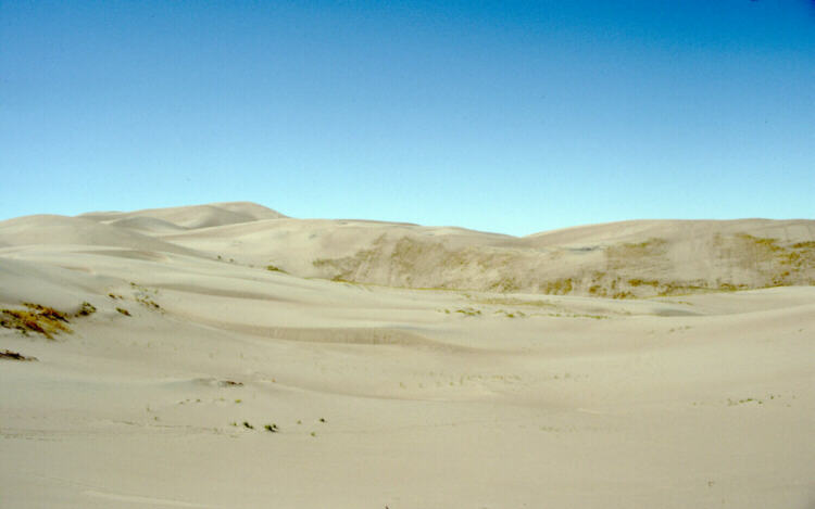
Looking out across the dunes:
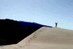
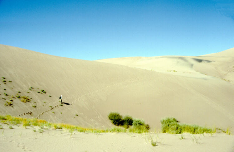
Betty ascending a dune (not as easy as it looks, you slide back a step for
every two forward):
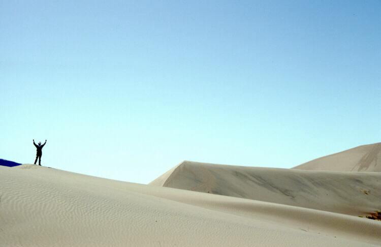
Made it! With more dunes out to the right.

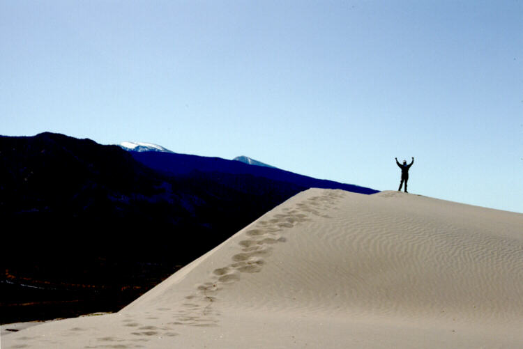
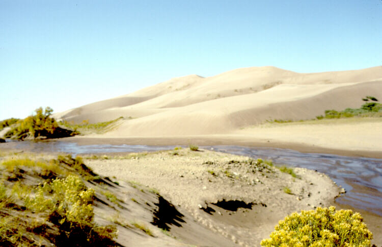
Looking to the left, across the stream to the Sangre de Cristo Mountains:
The narrow valley just to the east of the dunes:
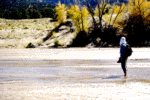
One of the delights of hiking here is getting to take your boots off and walk in the stream back to your starting point -- the stream's braided bed is
pure sand:
And now say goodbye to the dunes:
 Sand Dunes
in southern Colorado. An arid basin between two ranges of mountains is the setting for
this jewel. The prevailing wind from the west picks up sand from the basin, hits the
Sangre de Cristo mountains along the basins's western border, and drops all the sand
there. A stream along the base of the mountains picks up the sand and recycles it into the
basin, where it is once more picked up by the wind. The dunes, a mini-desert reminiscent
of the Sahara, makes an interesting day of hiking. Click here for a 120K JPEG map of the
area. BTW there's no real trails, nor any hiking map for the dunes, because the area
changes all the time. You just hike out into the dunes, wander around all day, and then
head back east to the stream, following it to your starting point. The best starting point
for a hike requires 4-wheel drive for access. And yes, a compass could come in very
handy if you can't navigate by the sun or stars.
Sand Dunes
in southern Colorado. An arid basin between two ranges of mountains is the setting for
this jewel. The prevailing wind from the west picks up sand from the basin, hits the
Sangre de Cristo mountains along the basins's western border, and drops all the sand
there. A stream along the base of the mountains picks up the sand and recycles it into the
basin, where it is once more picked up by the wind. The dunes, a mini-desert reminiscent
of the Sahara, makes an interesting day of hiking. Click here for a 120K JPEG map of the
area. BTW there's no real trails, nor any hiking map for the dunes, because the area
changes all the time. You just hike out into the dunes, wander around all day, and then
head back east to the stream, following it to your starting point. The best starting point
for a hike requires 4-wheel drive for access. And yes, a compass could come in very
handy if you can't navigate by the sun or stars.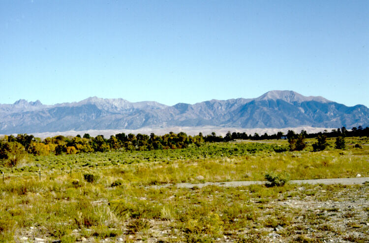
 to Keith's SAR/Outdoor Page