|
|
|
|
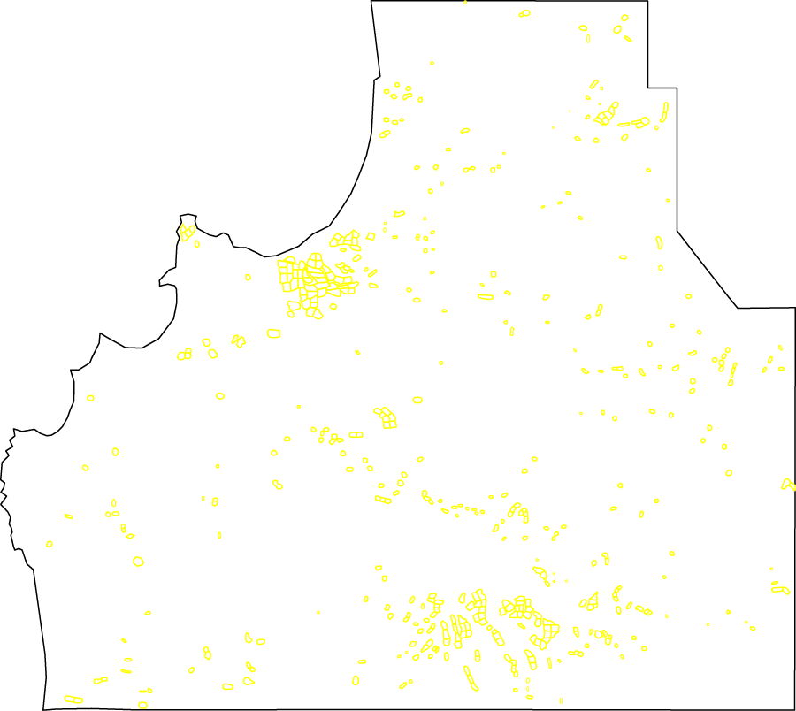
INT.TXT is a map of all Integration Period occupied areas (all collection lots with identifiable Integration Period sherds). The file is an AutoCAD .DXF file that will probably need to be renamed INT.DXF before it is used. Collection lot numbers are not included--only the collection lot boundaries indicated as closed AutoCAD polylines. AutoCAD drawing units are in kilometers. The Z-value of the closed polylines represents the sherd density of each lot per square meter. The layers and their contents are:
| Click here to view a low-resolution version of the map: INT.GIF. (Return here with your browser's BACK button.) | Download the file INT.TXT (784 Kb) and then ask your Web browser to save it to your disk. (Return here with your browser's BACK button.) |