 |
||||||||||||||
|
|
||||||||||||||
|
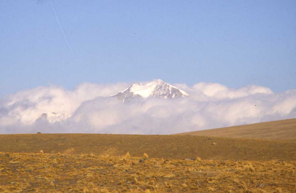
Bolivian Andes
|
|
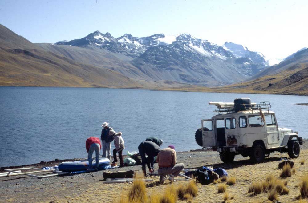
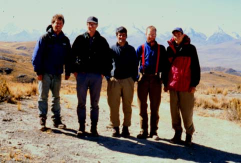
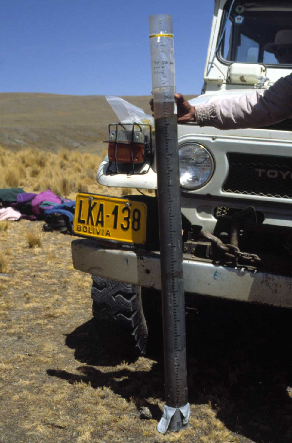
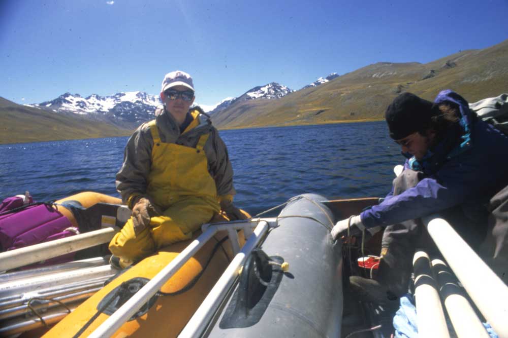
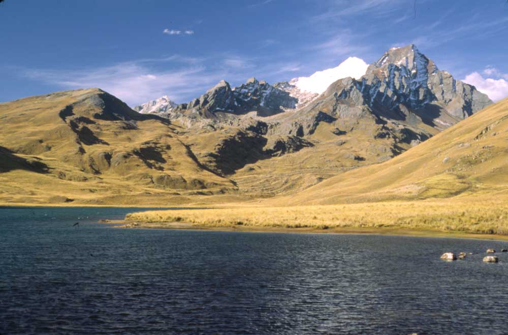
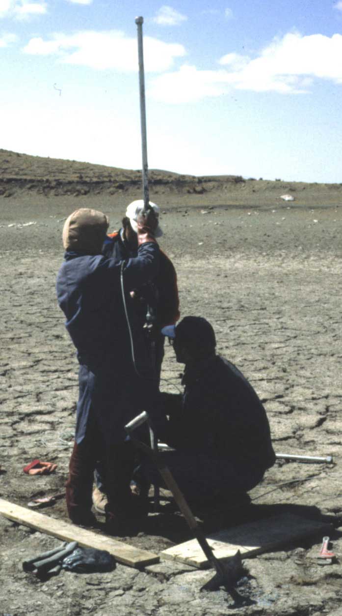
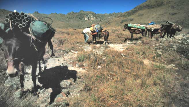
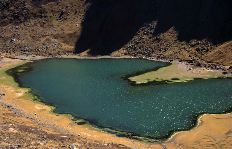
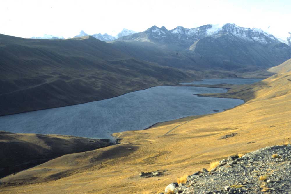
Paleohydrology of the Subtropical Andes from Lake Records - Collaborators include Alex Wolfe, Pratigya Polissar, Lesleigh Anderson, Geoff Seltzer, Kerry Kelts, Mark Brenner, Michael Binford, Jason Curtis, John Southon, Alan Kolata, Brent Wolfe, Mathias Vuille, Don Rodbell, Bryan Mark, Harry Rowe among others The primary objective of this project is to produce new multi-proxy Holocene paleoclimate records from the subtropical Andes. Previous work suggests a prolonged period of aridity during the mid-Holocene, however, more work to produce diatom and isotope records is necessary to confirm this hypothesis and determine the extent of this dry phase. Specifically, our focus is to define the timing of changes in the precipitation-evaporation balance of the Andean Altiplano on an decadal to century timescale for the Holocene. These records are needed to understand the long-term atmospheric dynamics of the subtropics and to assess the importance of decadal to millennial-scale shifts in the strength of summer convection. Our goal is to reconstruct the Holocene climate history of the region with a series of studies analyzing the sediment, geochemical, magnetic, stable isotopes, and diatom content of lake cores dated at high-resolution by lead-210 and AMS radiocarbon measurements. A transect of sites ranging from approximately 15° to 20°S in the eastern cordillera of Bolivia was cored for this project.
This research expanded the scope of our previous work in the eastern cordillera of Bolivia through additional analytical work and more extensive geographical coverage. The resulting time-series of climatic-shifts from the new study areas yielded the necessary spatial coverage to identify patterns of regional climate change. We hypothesized that the Andean Altiplano was significantly drier during the middle Holocene resulting in the complete melting of cirque glaciers from watersheds with headwalls <5500 m a.s.l. This was tested with stable isotope and diatom studies and it was determine that many alpine lakes were seasonally desiccated during the middle Holocene. We also hypothesizeed that the cause of the drier conditions was due to the weakening of the heat-induced low-pressure cell centered over the Bolivian highlands during the wet season of the Austral summer. Ongoing work in Boliva and Peru is seeking to identify the causes of shifts in the precipitation-evaporation balance of the southern subtropics by examining a series of sites along a north to south transect to determine if the middle Holocene dry phase is present and if the timing of the major shifts are synchronous within the region. Such a record of changing effective moisture provides insight into the long-term climate variability of subtropical South America. Changes in water resources and glacial coverate are having profound impacted on people living on the Altiplano
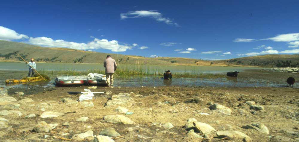
Resulting publications include A 3500 14C yr High-Resolution Record of Water-Level Changes in Lake Titicaca, Bolivia/Peru. Sediment cores collected from the southern basin of Lake Titicaca (Bolivia/Peru) on a transect from 4.6 m above overflow level to 15.1 m below overflow level are used to identify a new century- scale chronology of Holocene lake-level variations. The results indicate that lithologic and geochemical analyses on a transect of cores can be used to identify and date century-scale lake-level changes. Detailed sedimentary analyses of subfacies and radiocarbon dating were conducted on four representative cores. A chronology based on 60 accelerator mass spectrometer radiocarbon measurements constrains the timing of water-level fluctuations. Two methods were used to estimate the 14C reservoir age. Both indicate that it has remained nearly constant at ~250 14C yr during the late Holocene. Core studies based on lithology and geochemistry establish the timing and magnitude of five periods of low lake level, implying negative moisture balance for the northern Andean altiplano over the last 3500 cal yr. Between 3500 and 3350 cal yr BP, a transition from massive, inorganic-clay facies to laminated organic-matter-rich silts in each of the four cores signals a water- level rise after a prolonged mid-Holocene dry phase. Evidence of other significant low lake levels occurs 2900 - 2800, 2400 - 2200, 2000 - 1700, and 900 - 500 cal yr BP. Several of the low lake levels coincided with cultural changes in the region, including the collapse of the Tiwanaku civilization.
Holocene Paleohydrology of the Tropical Andes from Lake Records. Two century-scale time series in northern Bolivia constrain the ages of abrupt changes in the physical, geochemical, and biological characteristics of sediments obtained from lakes that formed during deglaciation from the late Pleistocene glacial maximum. The watersheds of Laguna Viscachani (16°12'S, 68°07'W, 3780 m) and Lago Taypi Chaka Kkota (16°13'S, 68°21'W, 4300 m), located on the eastern and western slopes of the Cordillera Real, respectively, contain small cirque glaciers. A high-resolution chronology of the lake sediments is provided by 23 AMS radiocarbon dates of discrete macro- fossils. Late Pleistocene glaciers retreated rapidly, exposing the lake basins between 10,700 and 9700 14C yr BP. The sedimentary facies suggest that after 8900 14C yr BP glaciers were absent from the watersheds and remained so during the middle Holocene. An increase in the precipitation-evaporation balance is indicated above unconformities dated to ~2300 14C yr BP in both Lago Taypi Chaka Kkota and Laguna Viscachani. An abrupt increase in sediment accumulation rates after 1400 14C yr BP signals the onset of Neoglaciation. A possible link exists between the observed millennial-scale shifts in the regional precipitation-evaporation balance and seasonal shifts in tropical insolation.
Holocene Paleohydrology and Glacial History of the Central Andes Using Multiproxy Lake Sediment Studies. Here we document at century to millennial scale the regional changes of precipitation-evaporation from the late Pleistocene to present with multiproxy methods on a north-south transect of lake sites across the eastern cordillera of the central Andes. The transect of study sites covers the area from V14°S to 20°S and includes core studies from seven lakes and modern calibration water samples from twenty-three watersheds analyzed to constrain the down-core interpretations of stable isotopes and diatoms. We selected lakes in different hydrologic settings spanning a range of sensitivity to changes in the moisture balance. These include: (1) lakes directly receiving glacial meltwater, (2) overflowing lakes in glaciated watersheds, (3) overflowing lakes in watersheds without active glaciers, and (4) lakes that become closed basins during the dry season. The results of our current work on multiple lakes in the Bolivian Andes show that while the overall pattern of Holocene environmental change is consistent within the region, conditions were not always stable over centennial to over millennial timescales and considerable decadal- to century- scale climate variability is evident. Comparison of the paleoclimate record from one well-studied site, Lago Taypi Chaka Kkota (LTCK), with others within the region illustrates a consistent overall pattern of aridity from the late glacial through the middle Holocene. Previous work noted a difference between the timing of water-level rise in Lake Titicaca V5.0^3.5 ka BP and the onset of wetter conditions at 2.3 ka BP in LTCK, a lake that drains into the southern end of Lake Titicaca. Sedimentary and oxygen isotope evidence from Paco Cocha (13°54'S) located in the northern reaches of the expansive 57000 km2 Titicaca watershed, which spans ~14°S to 17°S, indicates that glaciers returned to the watershed around 4.8 ka B.P. In addition, sedimentary and geochemical data from Llacho Kkota (15°07'S), located between LTCK (16°12'S) and Paco Cocha, indicate wetter conditions around 3.4 ka B.P. This suggests wetter conditions occurred first in the northern reaches of the Titicaca watershed and resulted in rising water levels in Lake Titicaca while the LTCK watershed remained unglaciated and seasonally desiccated. Comparison of the paleoclimate records from Paco Cocha, LTCK, and Potosi with other paleoclimate records from the region including Lake Titicaca and Nevado Sajama illustrates a consistent overall pattern of aridity from the late Pleistocene through the middle Holocene, but wetter conditions occurred in the northern areas first, and the aridity in the north was of shorter duration and less severe. The progressive increase in wet season (summer) insolation across the region during the Holocene likely resulted in an increasingly southward position and intensification of the zone of intense summer convection ^ known as the Intertropical Convergence Zone over the tropical Atlantic and Pacific. We suggest this is the cause of the overall pattern of increasingly later dates for the onset of wetter conditions moving north to south that we observe across the seven lakes discussed here that span four degrees of latitude. However, this does not explain the decadal- to century-scale variability that demonstrably exists at these same sites. Overall the last 2.3 ka has been the wettest period during the Holocene, but even during this relatively wet phase there are century-scale lowstands in lakes, including Titicaca, Llacho Kkota, Juntutuyo (17°33'S), and Potosi (19°38'S), and significant changes in the extent of glacial activity in the glaciated watersheds of Paco Cocha, LTCK, and Viscachani (16°11'S), indicating the continued sensitivity of the region to shifts in the moisture balance.
Holocene Hydrological Reconstructions from Stable Isotopes and Paleolimnology, Cordillera Real, Bolivia. Multiproxy analyses of sediment cores from Lago Taypi Chaka Kkota (LTCK) Cordillera Real, Bolivia, provide a record of drier conditions following late Pleistocene deglaciation culminating in pronounced aridity between 6.2 and 2.3 ka BP. Today LTCK is a glacial-fed lake that is relatively insensitive to changes in P-E because it is largely buffered from dry season draw-down through the year-round supply of glacial meltwater. This was not the case during the middle to late Holocene when glaciers were absent from the watershed. Lake-water d18O values inferred from d18O analysis of sediment cellulose range from -12.9 to -5.3‰ and average -8.7‰ between 6.2 and 2.3 ka BP. Modern lake-water d18O from LTCK averages -14.8‰ which is compatible with the d18Olw value of -14.3‰ for the surface sediment cellulose. Analyses of d18O from modern surface waters in 23 lakes that span the range from glacial-fed to closed basin vary from -16.6 to -2.5‰. This approximates the magnitude of the down-core shift in d18Olw values in LTCK during the middle to late Holocene from -12.9 to -5.3‰. Strong paleohydrologic change during the middle Holocene is also evident in diatom assemblages that consist of shallow-water, non-glacial periphytic taxa and bulk organic d13C and d15N that show increases likely resulting from degradation of lacustrine organic matter periodically exposed to subaerial conditions. Neoglaciation began after 2.3 ka BP as indicated by changes in the composition of the sediments, lower d18O values, and a return to diatom assemblages characteristic of the glacial sediments that formed during the Late Pleistocene. Collectively, these data indicate that the past 2.3 ka BP have been the wettest interval during the Holocene. Millennial-scale shifts in the paleohydrologic record of LTCK during the early to middle Holocene conform to other regional paleoclimatic time-series, including Lake Titicaca and Nevado Sajama, and may be driven by insolation and resultant changes in atmospheric circulation and moisture supply. In contrast, an apparent 1200-year lag in the onset of wetter conditions at LTCK (2.3 ka BP) compared to Lake Titicaca (3.5 ka BP) provides evidence for variable sub-regional hydrologic response to climate change during the middle to late Holocene.
Climate Variation and the Rise and Fall of an Andean Civilization. Paleolimnological and archaeological records that span 3500 years from Lake Titicaca and the surrounding Bolivian- Peruvian altiplano demonstrate that the emergence of agriculture (ca. 1500 B.C.) and the collapse of the Tiwanaku civilization (ca. A.D. 1100) coincided with periods of abrupt, pro- found climate change. The timing and magnitude of climate changes are inferred from stratigraphic evidence of lake-level variation recorded in 14C-dated lake-sediment cores. Paleo- lake levels provide estimates of drainage basin water balance. Archaeological evidence establishes spatial and temporal pat- terns of agricultural field use and abandonment. Prior to 1500 B.C., aridity in the altiplano precluded intensive agriculture. During a wetter period from 1500 B.C. to A.D. 1100, the Tiwanaku civilization and its immediate predecessors developed specialized agricultural methods that stimulated population growth and sustained large human settlements. A prolonged drier period (ca. A.D. 1100-1400) caused declining agricultural production, field abandonment, and cultural collapse.
|
|